Lost In Sight:
In Search of The Flint’s Headwaters
Share This Post:
Virginie Kippelen

Virginie Kippelen is a French-American photographer and filmmaker whose work explores our perceptions of the natural world, investig…
About Lost In Sight: In Search of The Flint’s Headwaters
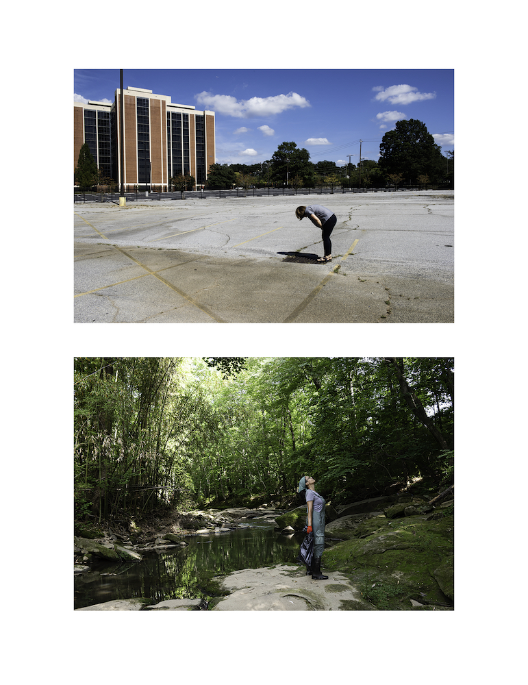
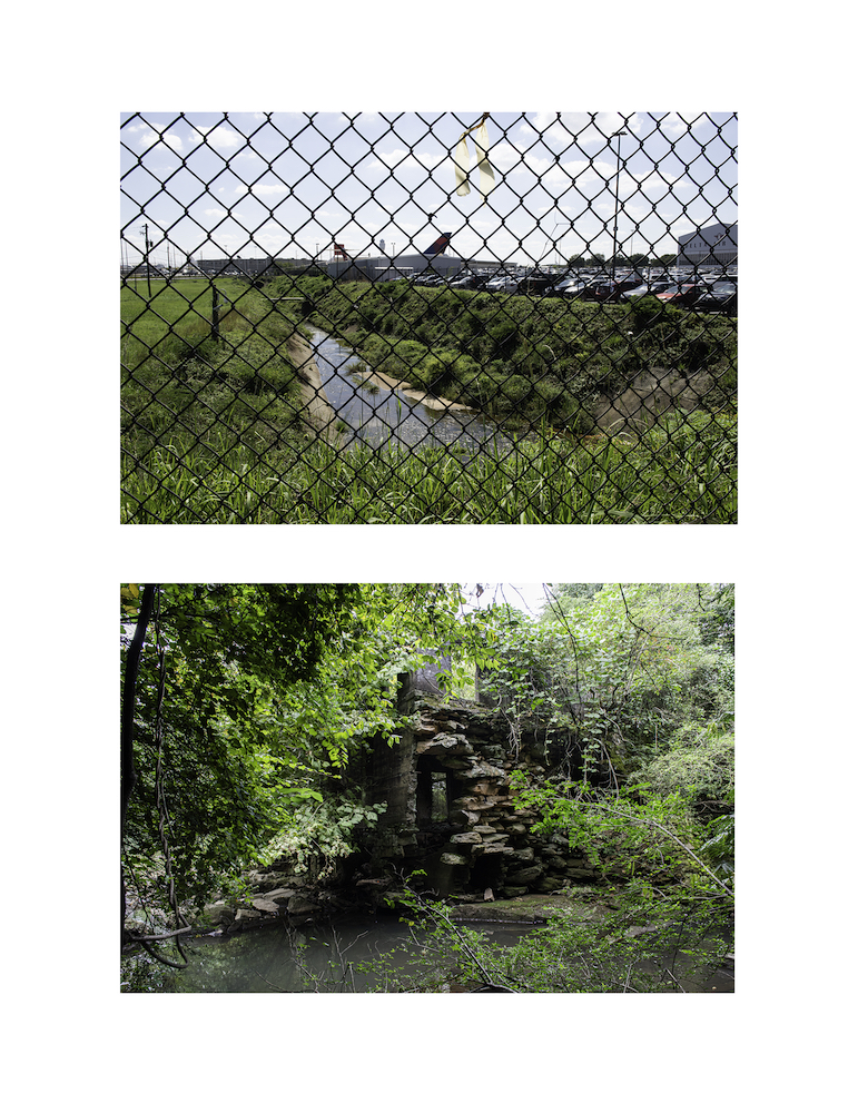
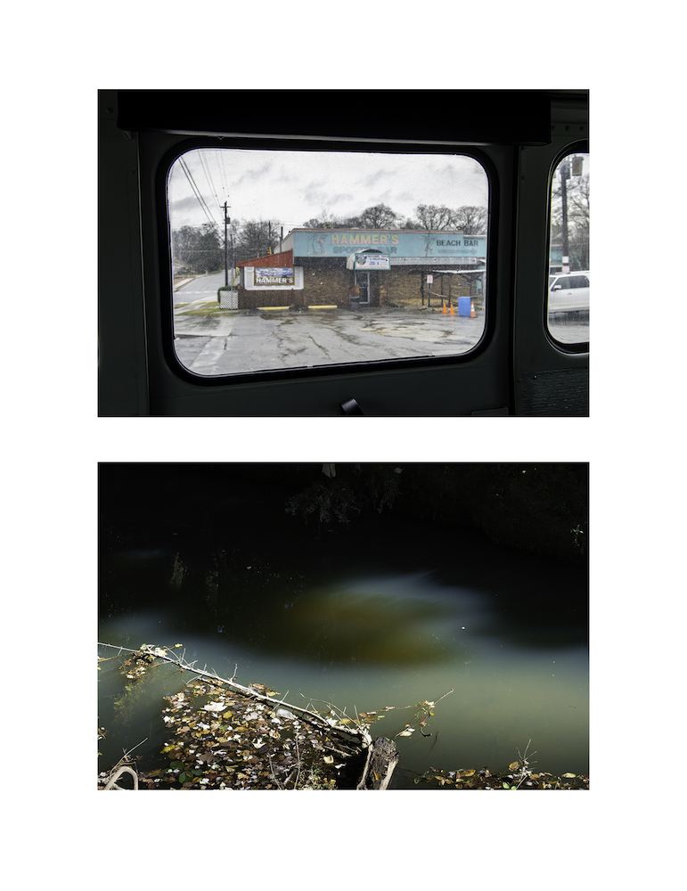
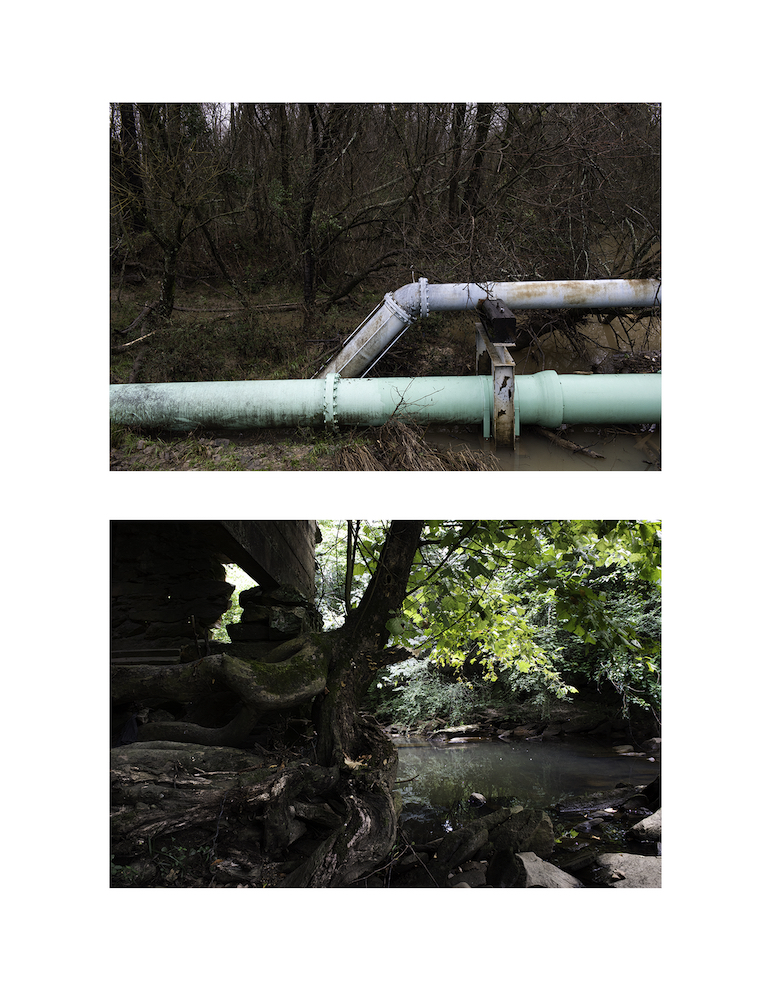
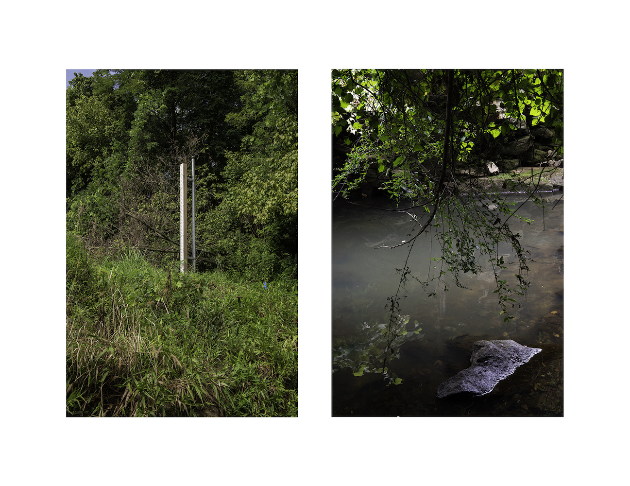
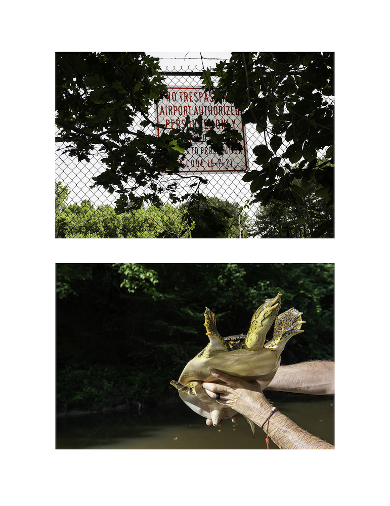
The Flint river is perceived in the collective imagery of the Southeast as a “sinuous beauty” flowing through the hills of the Georgia Piedmont all the way to the Florida Panhandle. Yet, few people know that its headwater streams emerge from beneath Hartsfield-Jackson Airport in Atlanta, famously known as one of the busiest airport in the nation. The Aerotropolis not only displaced residents and fractured the surrounding neighborhoods back in the 1970s, but it also buried the river in pipes and culverts, making it invisible to most.
As the airport grew, the Flint river’s headwaters disappeared from the map and from the surrounding communities’ shared experience.
This project attempts to restore a visual identity to a river whose origin has been lost in sight, and asks the viewer to acknowledge the dangerous human infatuation with controlling and managing nature to its needs.
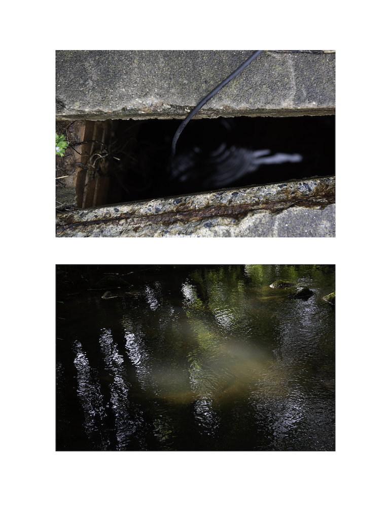
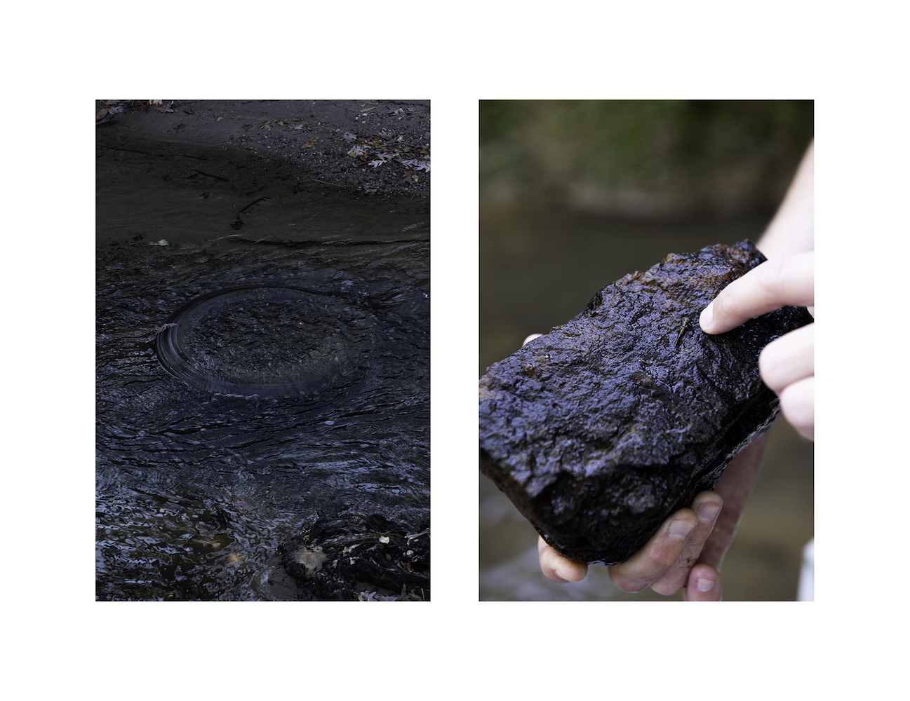
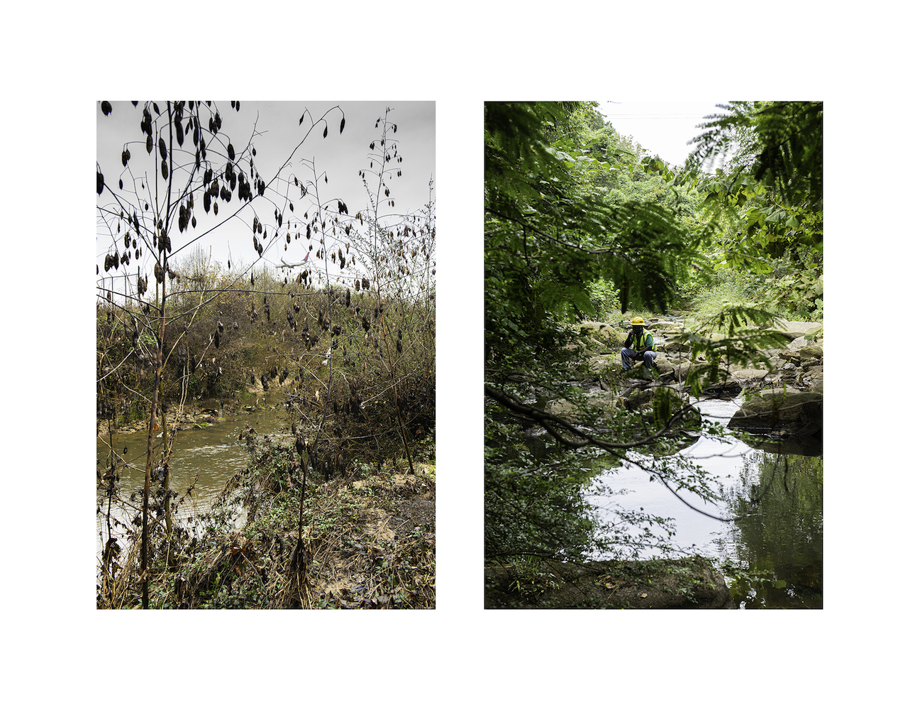
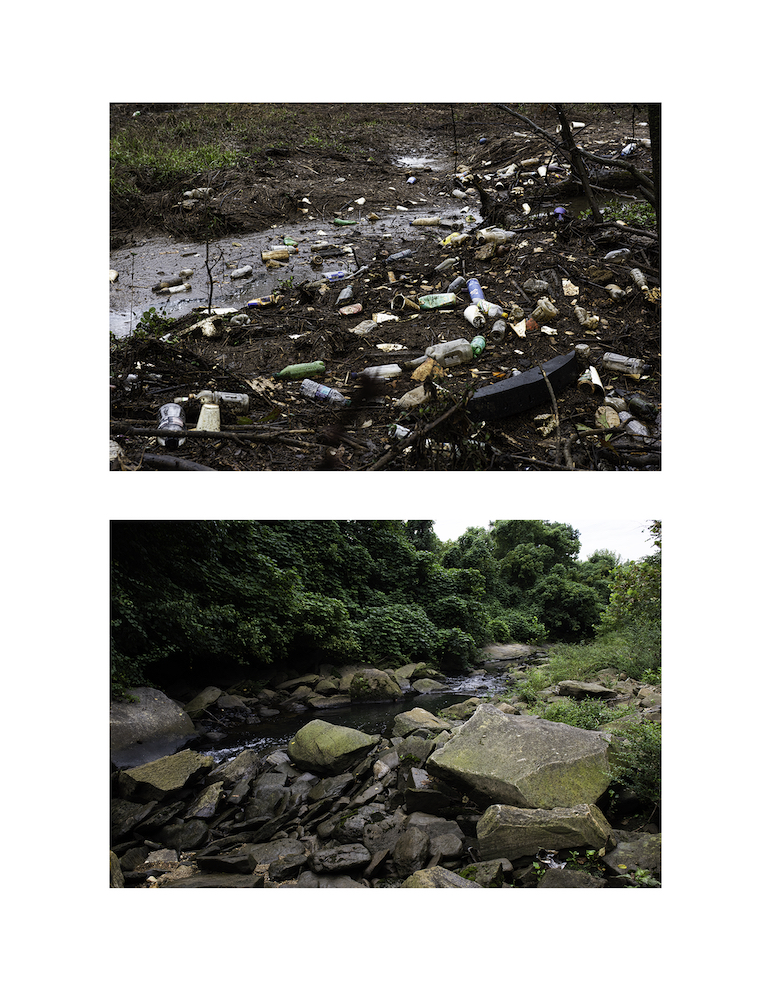
The series of images offers a complex appreciation of the existing headwaters, simultaneously beautiful, inviting and full of potential, yet spoiled and sadly forgotten. It relies on maps, archival materials and human knowledge to localize the water’s edge, since the headwaters are either buried under pipes in the airport’s restricted area, or hidden along roadways or behind thick vegetation.
The headwaters are not the river’s only area impacted by pollution, stormwater runoffs and erosion. All along its 344- mile course, the Flint has its share of issues. It is part of the ACF river basin, which is the subject of decades of litigation in the “water wars” between Alabama, Georgia and Florida. In 2016, the AFC basin ranked first on the list of America’s Most Endangered Rivers®, in view of its outdated water management.
It would have been tempting to follow the Flint river down its estuary and offer a vision of this troubled river in its entirety. I decided to stay within the limited geographical space of the headwaters because of its symbolism – this is the place where the river starts – and to end my exploration where the river gets its first public access, 15 miles south of its hindered groundwater seepage.